-
Duration7 days
-
DifficultyLevel 3
-
Distance99 km
-
Max Elevation5578 m
-
Elevation Gain / Loss+1762 m / -2209 m
About This Trek
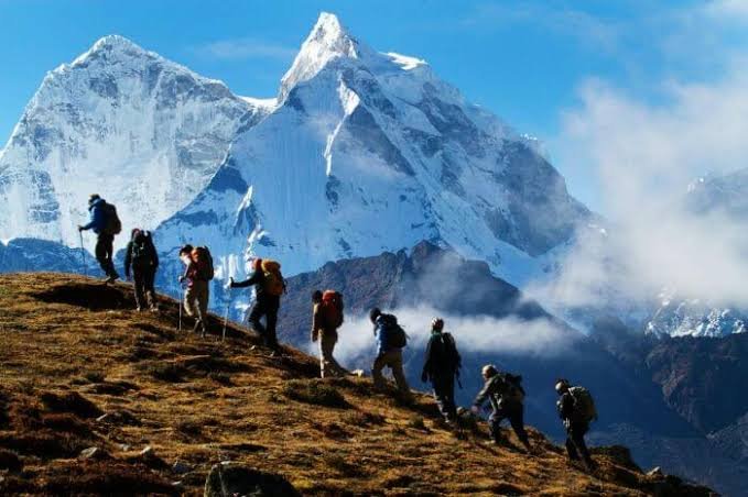
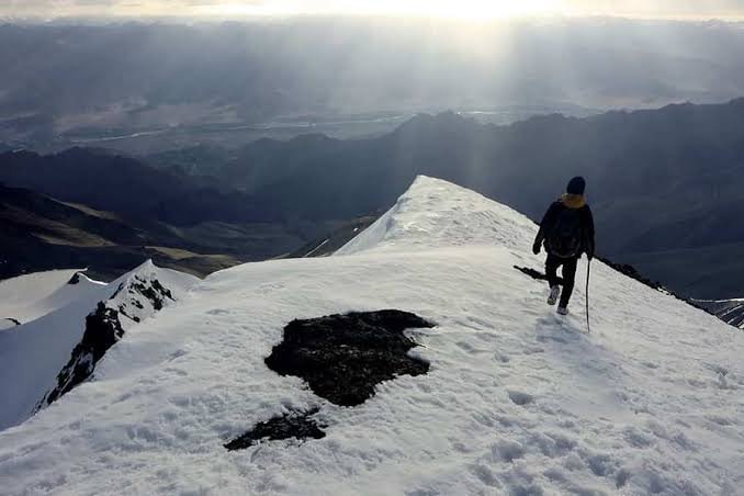
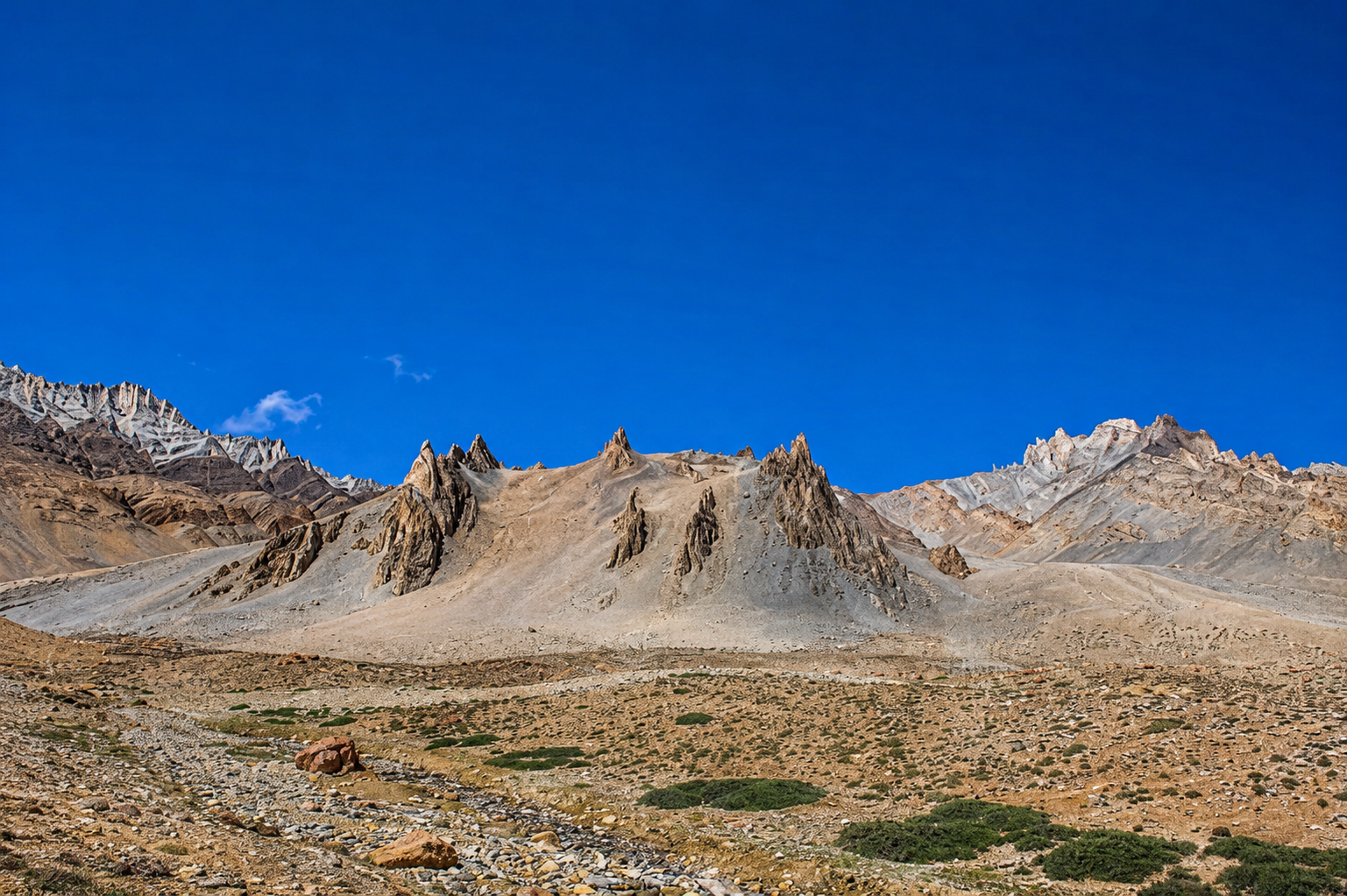
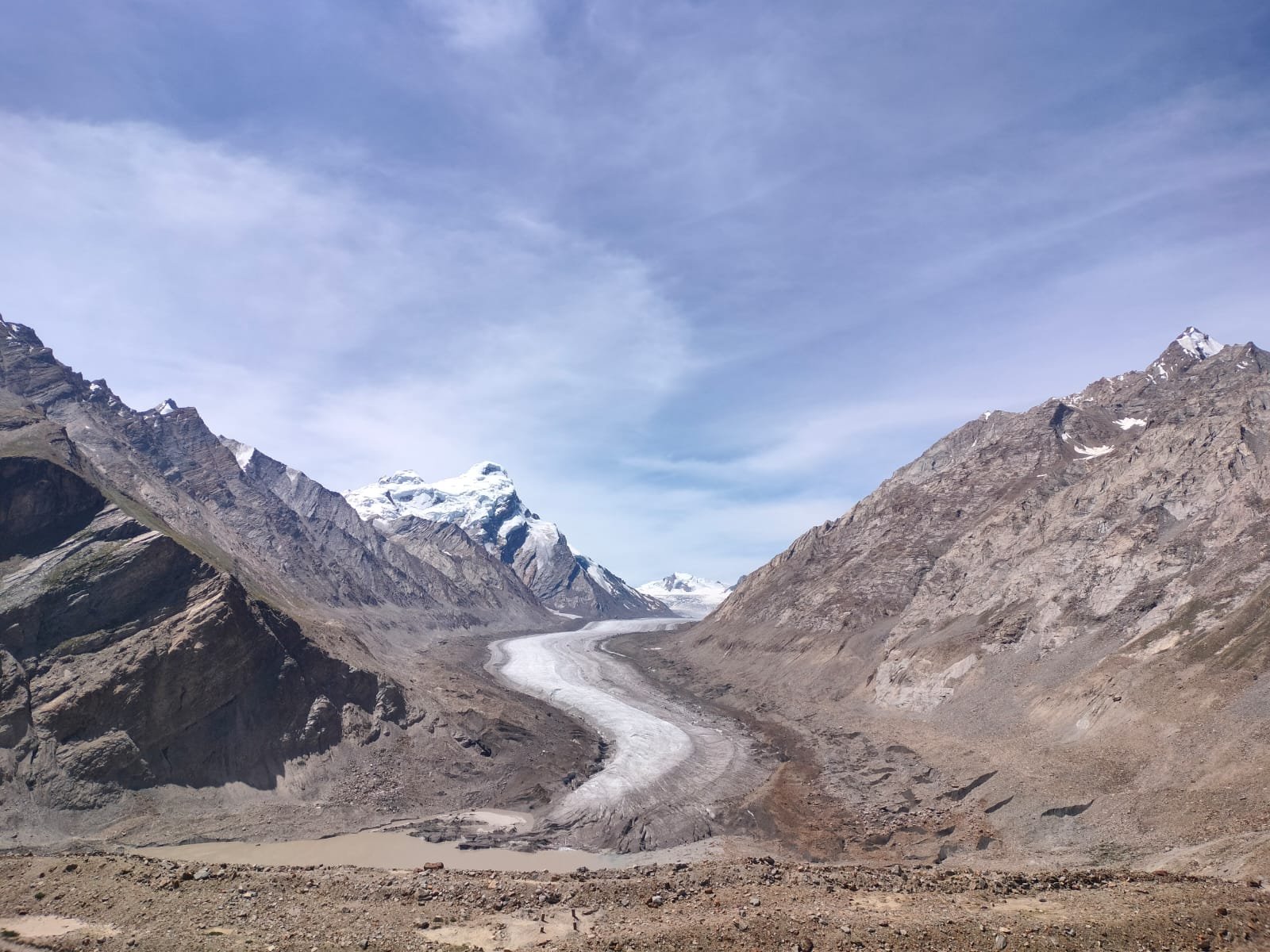
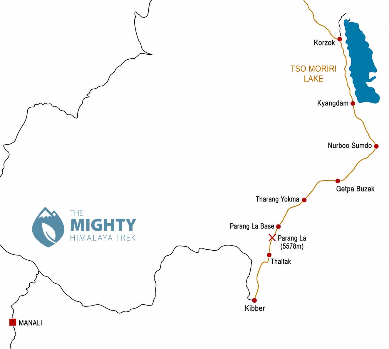
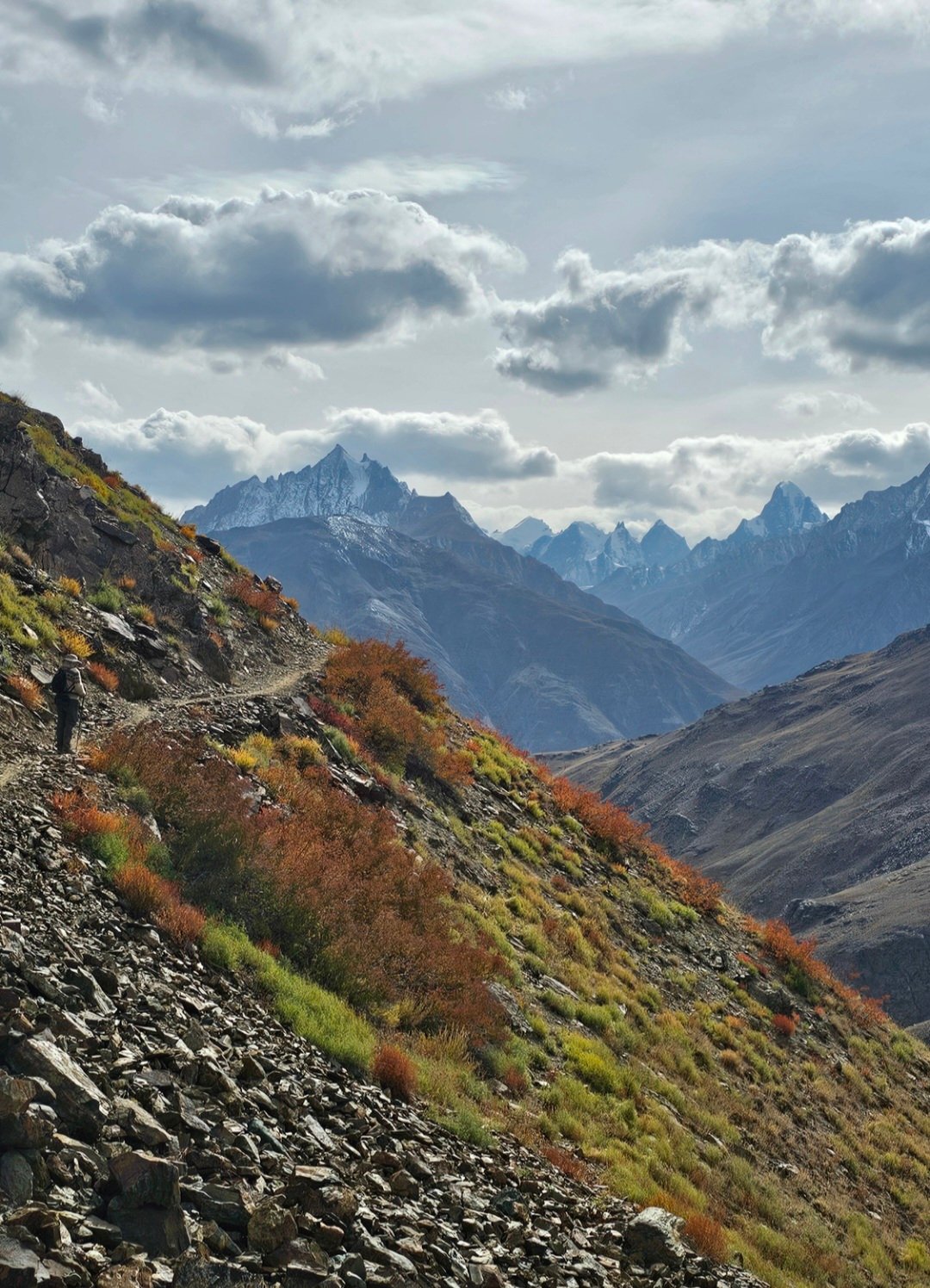
This trek follows an ancient trade route between Ladakh and the Lahaul-Spiti district. Despite the high altitude (always above 4500m), this trek is relatively easy and the view from the Parang La (5578m) is fantastic.
Itinerary
Experience an incredible trek from Tso Moriri to Kibber, following the Parang Chu river, crossing the spectacular Parang La, and exploring the remote high-altitude landscapes of Ladakh and the Lahaul-Spiti region.
Time: 6-7 hrs
Distance: 21.6 km
Elevation gain / loss: +25m / -48m
- Follow the trail along the shore of Tso Moriri Lake towards the south. There are good views of the Mentok Range (6250m), Chamser Kangri (6620m) and Lungser Kangri (6666m).
Time: 4-5 hrs
Distance: 14.9 km
Elevation gain / loss: +97m / -96m
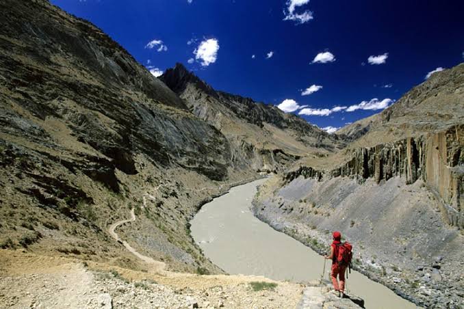
- Once you leave Kyangdam, walk towards the river valley of Parang Chu.
Time: 4-5 hrs
Distance: 15.8 km
Elevation gain / loss: +102m / -0m
- The trail follows the river to Getpa Buzak.
Time: 4-5 hrs
Distance: 12.2 km
Elevation gain / loss: +201m / -47m
- Follow the trail along the Parang Chu River, pass through the rolling hills to reach Tharang Yokma.
Time: 4-5 hrs
Distance: 12.5 km
Elevation gain / loss: +307m / -10m
- It is a pleasant walk along the Parang Chu River leading to the Parang La Base Camp.
Time: 5-6 hrs
Distance: 9.8 km
Elevation gain / loss: +495m / -1166m
- Walk slowly up towards the Parang La. The pass offers excellent panoramas of Ladakh and the Lahaul-Spiti district.
- Walk down through a gorge to Thaltak.
Time: 5-6 hrs
Distance: 12.3 km
Elevation gain / loss: +535m / -842m
- Go through a small pass and then walk down to Kibber.
Getting to / from the trek
- It takes 7 hrs to drive from Leh to Korzok (215 km)
- Kibber is 215 km from Manali and 550 km from Leh
Related Tour Packages